Politics & Government
Severe Thunderstorm Warning in Effect into Tonight
Big storms, hail, possible through Wednesday night; Town of Oyster Bay calls off afternoon athletic activities.


The National Weather Service has issued a severe thunderstorm watch for all of the Metropolitan area, including Nassau County, in advance of a large band of thunderstorms moving toward Long Island.
One lightning storm has already skirted the North Shore of Long Island Wednesday afternoon and more are expected to pop up throughout the afternoon and evening, the NWS said.
The severe thunderstorm warning is in effect until 9 p.m. because of a large cold front moving northwesterly toward Long Island Wednesday, according to the NWS.
Find out what's happening in Plainviewwith free, real-time updates from Patch.
A heat advisory is also in effect this afternoon.
Due to the high heat index, all outside athletic activities scheduled for today have been cancelled until 7:30 p.m. at all Parks facilities, Supervisor John Venditto announced this afternoon.. Additionally, the Town of Oyster Bay Dog Park is closed Wednesday as well.
Find out what's happening in Plainviewwith free, real-time updates from Patch.
Temperatures were hovering in the lower 90s Wednesday afternoon with a heat index approaching 100 degrees.
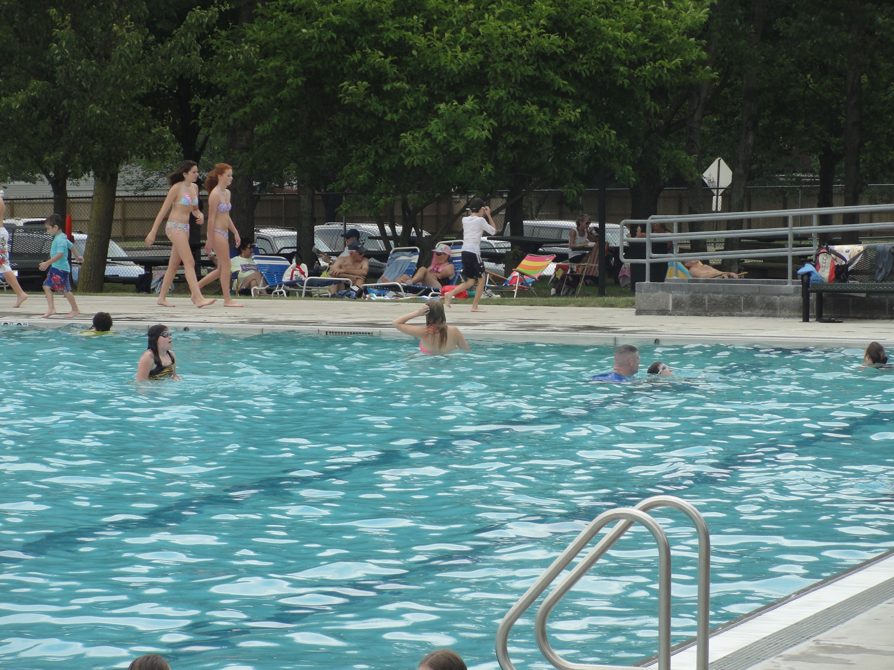
The town's pools, including the one in Plainiew, and its beaches remain open. Nassau County and the Town of Oyster Bay have opened cooling centers around the county. The closest to Plainview is the William P. Bennett Hicksville Community Center, 28 Carl Street, Hicksville (516) 797-7900.
It's open at least until 5 p.m.
The temperatures will change dramatically after the storm system passes through.
Get more local news delivered straight to your inbox. Sign up for free Patch newsletters and alerts.


