Politics & Government
UPDATE: Snow Misses Long Island; Sunday Should be Clear
Dreaming of a White Halloween? You almost had one.

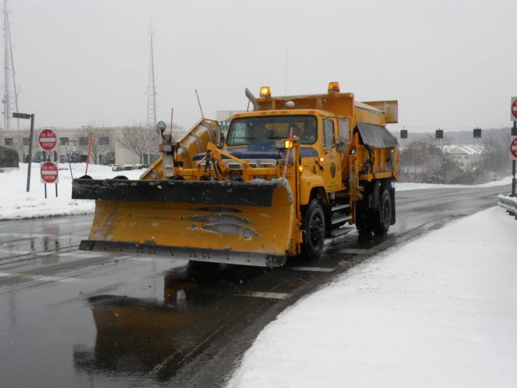
The major winter-like storm that crippled parts of the East Coast is now expected to miss Long Island, an early morning update by the National Weather Service indicates.
The National Weather Service said heavy, wet snow, mainly before 4 a.m., was possible along with strong north winds and temperatures around 30. Wind gusts could exceed 50 mph, the NWS said, meaning power outages are still possible.
However, the current precipitation just before 5 a.m. Sunday has remained in the form of rain in Plainview and the immediate vicinity. The storm appears to have moved off the East Coast and into the Atlantic, NWS maps show.
Find out what's happening in Plainviewwith free, real-time updates from Patch.
A total snow accumulation overnight of 2 to 4 inches had been called for Plainview and eastern Nassau County.
Today now promises gradual clearing with a high near 46. A stern north wind will continue through the day Sunday, the NWS said. Clearing and warmer temperatures should greet Monday and continue through much of the week, the NWS said.
Get more local news delivered straight to your inbox. Sign up for free Patch newsletters and alerts.


